MaltaGeo✦EXPLORE YOUR ISLANDS
SMALL ISLANDS. BIG CURIOSITY.
✦ GO ON. FOLLOW YOUR CURIOSITY.

Tiny islands.
Big discoveries.

Find your village. Follow a valley. Get to know the rocks under your feet. Malta is small — there’s a lot to play with.

68 localities3 ways to play∞ things to notice
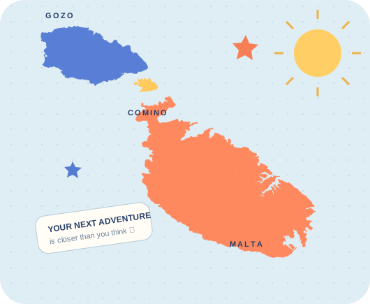
A colourful map of Malta, Gozo and CominoA little place.
A whole lot of wow. ✦
Loading terrain and geological survey…
Click an area for locality details · Drag to pan · Zoom for smaller councils
Select land for a height reading
YOUR LOCAL FIELD NOTES

Click a locality. Discover its landscape.

Explore all 68 council areas, from the western plateau to Gozo’s valleys. Each area includes its region, area, neighbours, sampled elevation range, mapped rock formations and groundwater bodies.

68CLICKABLE LOCALITY AREAS

54 Malta · 14 Gozo
Għajnsielem includes Comino.

THREE ISLANDS. COUNTLESS PERSPECTIVES.

Explore heights, slopes, valleys and the rock units that shape them.

Real terrain. Traceable geology.

Elevation

Shaded relief, height colours and 50 m contours are derived from Mapzen Terrain Tiles on AWS, sampled at zoom 12 (about 31 m per pixel here). The elevation data is bundled with this site; no live tile service is needed. Heights are approximate, rounded to 5 m and referenced to the source DEM sea-level datum. Grid sampling smooths cliffs and narrow landforms; this is not Malta’s 1 m LiDAR survey.

Terrain attribution: Mapzen; SRTM / GMTED2010 courtesy of the U.S. Geological Survey; European terrain produced using Copernicus data and information funded by the European Union (EU-DEM); global ETOPO1 terrain: NOAA. Dataset attribution and terms.

Bedrock geology

Continental Shelf Department / British Geological Survey, resurveyed in 2021–2022 at 1:10,000, published 2022. The simplified overlay and point lookups use the public bedrock layer. Superficial deposits, artificial fill, soil and underground strata are not shown. A locality may contain several formations; the selected unit describes the representative marker only. Geological ages are the survey’s unit age bounds, not a measurement of a particular rock sample.

Open the official geological survey viewer

Localities and field notes

The complete council list follows NSO LAU2 classification and the Local Councils’ Association. Markers are representative settlement locations, not boundaries or official centroids. Smaller settlements are identified separately. The geography notes interpret terrain, coast and valley setting; geological explanations draw on the survey and ERA’s landscape guide. Soil guidance: Nature Trust Malta and Malta soil data.

Prepared 22 October 2026 · Educational overview; use the official survey for detailed geological work. Mapping: Leaflet 1.9.4 (BSD-2-Clause).

Locality areas & area summaries

Boundaries: Research Innovation Unit — Malta Local and Regional Councils (LAU2), free for public use with attribution. The 68 council records are used; the separate Filfla island record is not counted as a council. Boundaries are generalised for this educational atlas and are not cadastral boundaries. Area values are from the provider. Neighbours are derived from shared edges with a 2 m tolerance. Elevation statistics sample land within each polygon on the existing approximately 31 m DEM and round heights to 5 m; they are not surveyed extrema. Geology shares use polygon intersections; small coastline differences and unmapped ground can leave coverage below 100%.

Current regional names are reconciled with the Office of the Address Registrar. This replaces older region groupings in the boundary source.

Groundwater bodies

Geometry: © European Environment Agency, public WISE WFD2022 GroundWaterBody service, third River Basin Management Plan reporting. Dataset and metadata. Selected Malta records are generalised for display; derived locality overlaps are approximate. Bodies can overlap vertically, so their percentages must not be added. The map is not a water-table contour map. It contains no live well readings, measured depth-to-water values or drinking-water assessment. Conceptual explanation: Energy & Water Agency water guide.

Valleys, hills and terrain profiles

Named landforms use representative positions from GeoNames (CC BY), downloaded 29 October 2026. Wied Babu uses an OpenStreetMap representative position (© OpenStreetMap contributors, ODbL). Wied il-Għasel and Wied il-Qlejgħa use published sample locations from Saliba et al. (2016), linked in their notes. Positions do not define a full valley, catchment, ridge crest or summit. Elevation profiles sample the bundled DEM along a straight line and exclude points outside the mapped bedrock footprint; they are not walking routes. The 194 m Ta’ Dbieġi reference is from Visit Gozo’s Dwejra Walk guide, distinct from a DEM marker reading.

Coastal positions and erosion model

The 18 additional coastal markers use GeoNames Malta gazetteer positions (CC BY), downloaded 29 October 2026. Coastal water positions do not provide seabed depths; cave positions do not map cave-floor elevations or entrances. The Coast Explorer diagram illustrates one possible cave–arch–stack development sequence without a timescale. See the coastal landform research, ERA and the Dwejra geology guide for context.